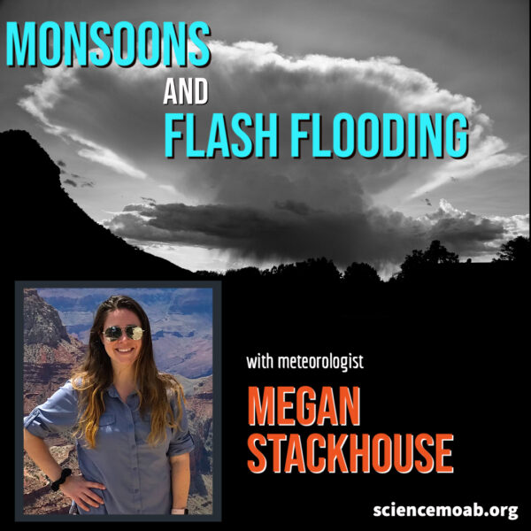
Weather in the Southwest
Monsoons in the desert southwest rely on a seasonal wind shift to occur. They don’t always materialize. When they come, though, the drastic change in weather and rainfall amounts can often lead to flash floods in a sun-parched desert. We talk with Megan Stackhouse from the National Weather Service in Grand Junction, CO. We talk about the difficulty in predicting rainfall and flooding in arid environments with so much topographic variation.

Meet the Scientist: Megan Steakhouse
Megan was born and raised in Wheaton, Illinois before moving to Lake Charles, Louisiana in high school. She attended the University of South Alabama in Mobile, Alabama where she received a Bachelors of Science in Meteorology with minors in both Mathematics and Geography. She was a student volunteer at the National Weather Service (NWS) offices in both Lake Charles and Mobile before starting her professional NWS career first as an Intern at Grand Junction in 2014, and as a General Forecaster 18 months later.
Megan has been in love with the weather since 7th grade when she first started watching the “Local on the 8’s” on the Weather Channel before school every morning. She enjoys all aspects of the weather and has been heavily involved with the outreach and decision support services initiatives at the Grand Junction office. Outside of work she enjoys baking, reading, hiking, and traveling.
Relevant Links
Follow Science Moab wherever you get your podcasts
Interview Transcript - Monsoons and Flash Flooding
 It never rains, but sure does pour — at least during Moab’s monsoon season. This week, we speak with Megan Stackhouse, a meteorologist with the National Weather Service in Grand Junction, Colorado. We discuss monsoons, rain variability, and how to predict the potential for a flash flood.
Science Moab: What causes our monsoon season?
Stackhouse: The monsoon is a wind shift that happens in the summer months, generally mid-June through the end of September, which taps into subtropical moisture coming in from the Pacific and the Gulf of Mexico. Typically, we get that every single summer, and it leads to quite a bit of precipitation.
But the last few years, we haven’t had a monsoon season; we were cut off from this ridge of high pressure and weren’t able to get any of that moisture. Luckily, this year, we’ve been in a favorable position. That’s why we’ve been seeing this typical monsoon season with cooler weather, showers, and thunderstorms.
Science Moab: Where are we now with our rainfall?
Stackhouse: So far this month [August], the airport has received 1.78 inches, which is 1.39 inches above normal for this time of year. To put it into perspective, this time last year, the airport had only received 0.39 inches. That’s great to see. It’s a welcome relief.
Interestingly, the airport has only been taking weather observations since 1991. So “normal” for their weather observations are averages from the last 30 years.
Science Moab: When it rains in this area, you can often see that it’s raining over just a specific part of town. How variable is the rainfall around here?
Stackhouse: The main forecast concern across eastern Utah and western Colorado during the monsoon season is the unpredictability and variability of rainfall. Depending on where showers and storms develop, one part of town might get a ton of moisture, and the other part might get just a couple of drops. We have a lot of challenges out here trying to get an accurate forecast, but also understanding that there are some really small-scale influences on what ends up happening.
Science Moab: With large monsoonal rains can come some serious flash floods. How are you able to predict these flood events?
Stackhouse: The main thing is first being situationally aware of what’s already been happening. Taking into account how much precipitation an area has already received is the first step to determine how saturated the soil is, and how likely things are to absorb into the ground, if at all.
Then we have a bunch of weather models, some that focus on the weather pattern across the country, some that are focused on whole regions, like the Southwest, and some very high-resolution models. We look at everything and learn the biases of each model, like which ones tend to overestimate certain flow patterns.
We also apply our local topographic knowledge — for example, knowing if the potential flood mouth area could be blocked due to the terrain. It’s a very detailed process, trying to get an accurate forecast for what’s going to happen with flash flooding.
Science Moab: Burn scars, like those from the Pack Creek Fire, can produce particularly potent floods. How do you monitor and predict the flood potential of those areas?
Stackhouse: After every fire, we have a specialized team do a post-fire analysis. They observe which land got burned more severely. Taking that into account, we try to determine which rainfall totals will likely produce flooding.
There’s a learning curve. It takes awhile for most burn scars to get tested; sometimes it takes a few years to learn how a scar responds to heavy rain. With Pack Creek, we have a general idea of the rain totals to look out for. We take into account the drainage, and how runoff will eventually impact other areas downstream.
Photo by Chris Benson


